Mar 06
History
Four Centuries of Texas History Preserved in Major Map Donation
Texas GLO
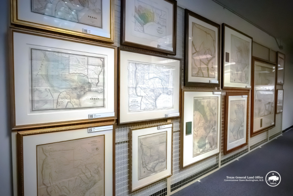
A remarkable collection of historic maps documenting nearly four centuries of Texas and Western Hemisphere history is finding a permanent public home thanks to a major donation announced by Texas Land Commissioner Dawn Buckingham.
The Frank and Carol Holcomb Map Collection, valued at more than $3.5 million, has been donated to the Texas General Land Office (GLO). The gift includes 76 historic maps dating from 1513 to 1904 and will help fund the creation of the Frank and Carol Holcomb Map Gallery at the GLO, ensuring the collection can be preserved and shared with the public.
A Window Into Nearly 400 Years of History
According to the Texas General Land Office, the maps span nearly four centuries of history—from early depictions of the Western Hemisphere to detailed maps produced during several key periods in Texas history.
The collection includes maps created during the Spanish colonial era, the Mexican national period, the Republic of Texas, and the early years of statehood. Together, they offer a rare visual timeline showing how the region evolved through exploration, settlement, and nation-building.
Commissioner Buckingham said the donation represents a major addition to the state’s historical archives.
“The Frank and Carol Holcomb Map Collection represents a historic milestone for the Texas General Land Office and for the people of Texas,” Buckingham said. “This remarkable map donation—spanning nearly four centuries of Texas history—further strengthens the GLO’s collection as one of the premier resources for understanding the history, exploration, and development of Texas.”
Buckingham also expressed gratitude to Carol Holcomb for donating the collection in memory of her late husband.
A Collector’s Passion Becomes a Public Treasure
The maps were donated by Carol Holcomb of Houston in honor of her husband, Frank Holcomb, whose passion for cartography led him to assemble one of the most significant private collections of Texas and Western Hemisphere maps in the United States.
Holcomb’s deep connection to Texas history also influenced his collecting. According to the family, his ancestors settled in East Texas in the early 1830s, including a relative who served in Sam Houston’s army during the Battle of San Jacinto.
Carol Holcomb said sharing the collection with the public had always been the couple’s long-term goal.
“Maps were his passion, and as our collection grew, we hoped it would one day find a home in a public institution,” she said. “Our long-standing relationship with the GLO made it the obvious choice. Thank you to the GLO staff and to Commissioner Buckingham for making Frank’s dream come true.”
A New Gallery for Texas History
The Texas General Land Office is currently in the early planning stages of establishing the Frank and Carol Holcomb Map Gallery, a dedicated space that will showcase this historic collection along with other archival materials held by the agency.
The gallery will highlight the role maps have played in documenting exploration, territorial development, and the changing identity of Texas over centuries.
By donating the maps to the GLO, Holcomb has ensured that one of the most significant private collections of Texas and Western Hemisphere maps in the country will be preserved and made accessible for future generations of Texans, historians, and students.
Preserving the Story of Texas
Frank Holcomb was known among friends and colleagues for his optimism, love of life, and deep appreciation for history. Beyond his map collection, he and his wife were supporters of several historic preservation and educational institutions.
Holcomb served on the advisory board of the Museum of Early Southern Decorative Arts (MESDA), while Carol Holcomb continues her work as a docent at the Bayou Bend Collection and Gardens.
For the Holcomb family, the donation reflects a simple belief: that history should be shared.
RECENT

Weekend Adventures Await
Dating

Why Those Neon Snack Colors Are Starting to Disappear
Friday Fuel

When Love Means Letting Go
Animals

Georgia Looks to Rewrite the Story on Early Reading
Education

A Fresh Start for Spring: Nourish to Flourish with Heather Jenkins
Health & Wellness

Arizona House to Honor Crew of PCU Arizona
In Service

Classic Country Comes Alive on LIVE WIRE
Entertainment

Arizona House Toughens Sexual Extortion Law
In The States

Deli Meats & Democracy
Uncategorized

Michigan Students Invited to Compete for “Representative for a Day”
Education
BE THE FIRST TO KNOW
Want to stay in the loop? Be the first to know! Sign up for our newsletter and get the latest stories, updates, and insider news delivered straight to your inbox.

More Content By
Think American News StaffWeekend Adventures Await
Dating
Four Centuries of Texas History Preserved in Major Map Donation
History
Georgia Looks to Rewrite the Story on Early Reading
Education
Arizona House to Honor Crew of PCU Arizona
In Service
Classic Country Comes Alive on LIVE WIRE
Entertainment
Arizona House Toughens Sexual Extortion Law
In The States
Michigan Students Invited to Compete for “Representative for a Day”
Education

A Statewide Celebration of Stories, Learning, and Lifelong Literacy in Michigan
Education
Marcell Highlights Sextortion Prevention
In The States

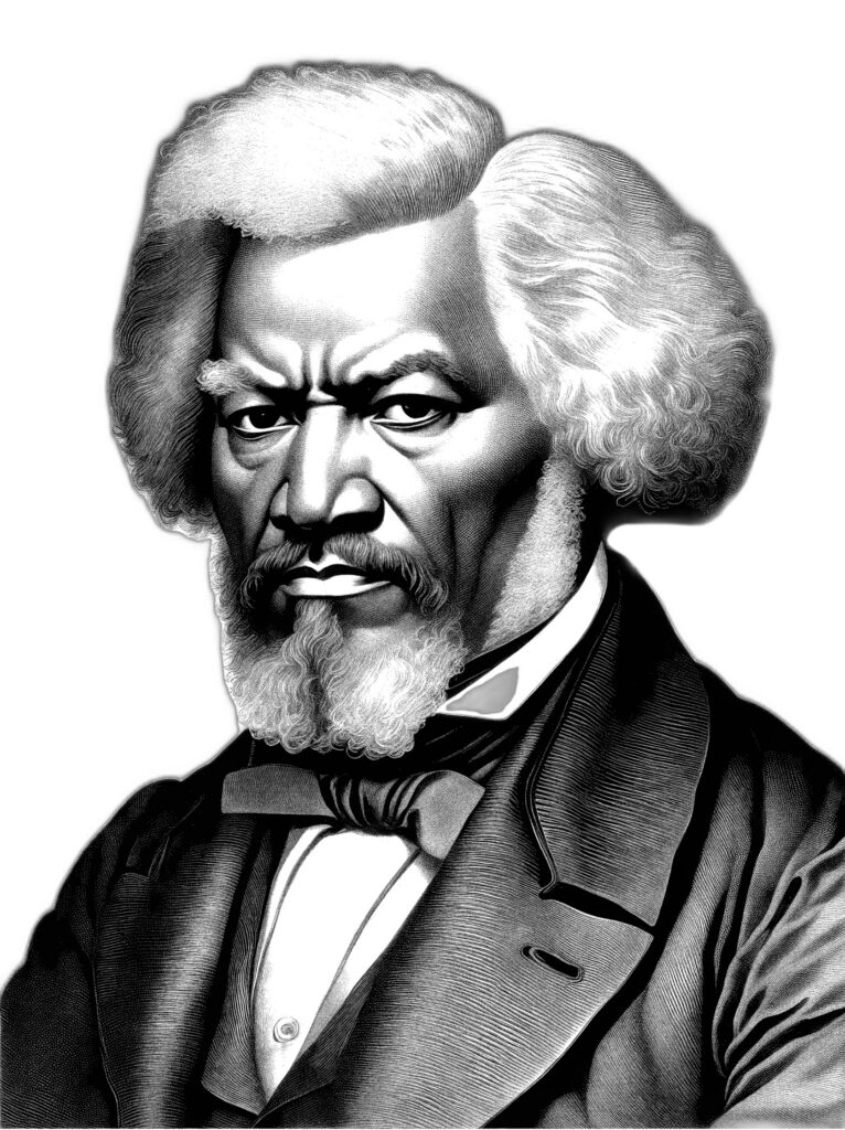
How Frederick Douglass Helped Move America Forward
History
View All Content By Think American News Staff